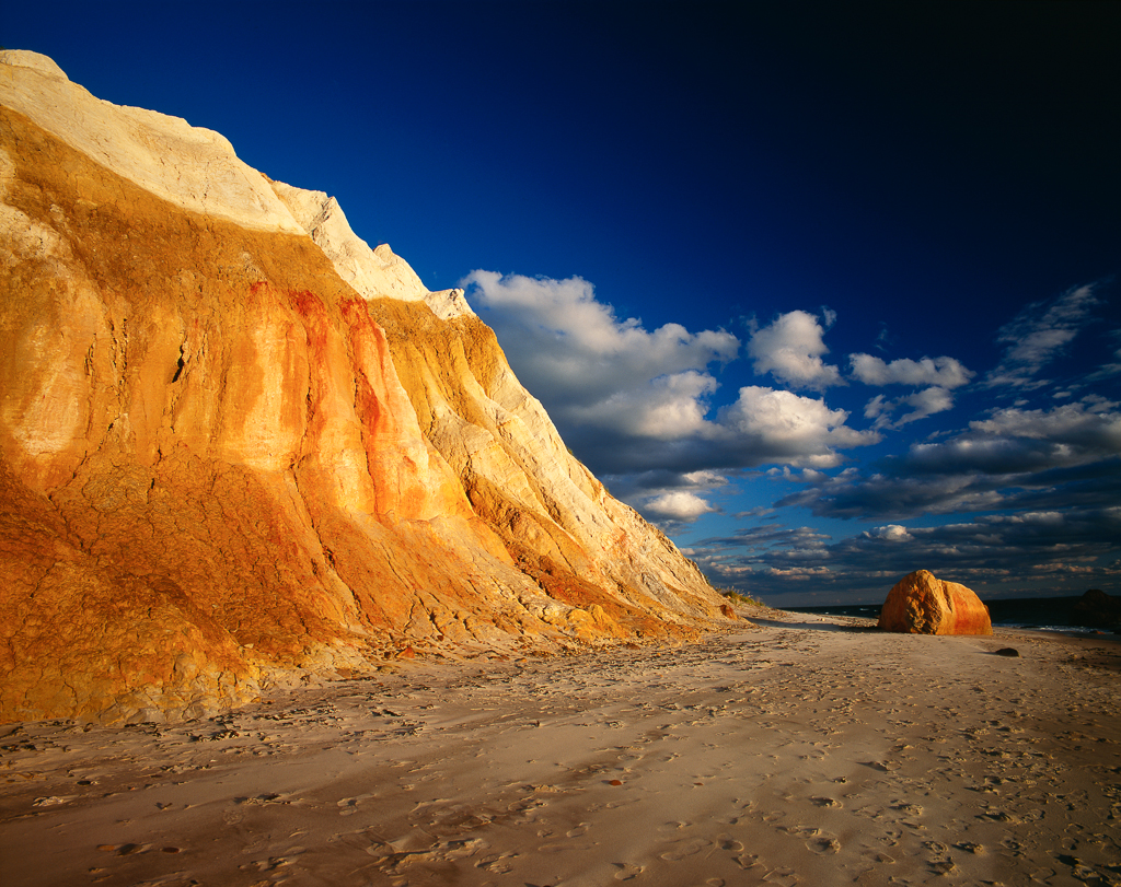
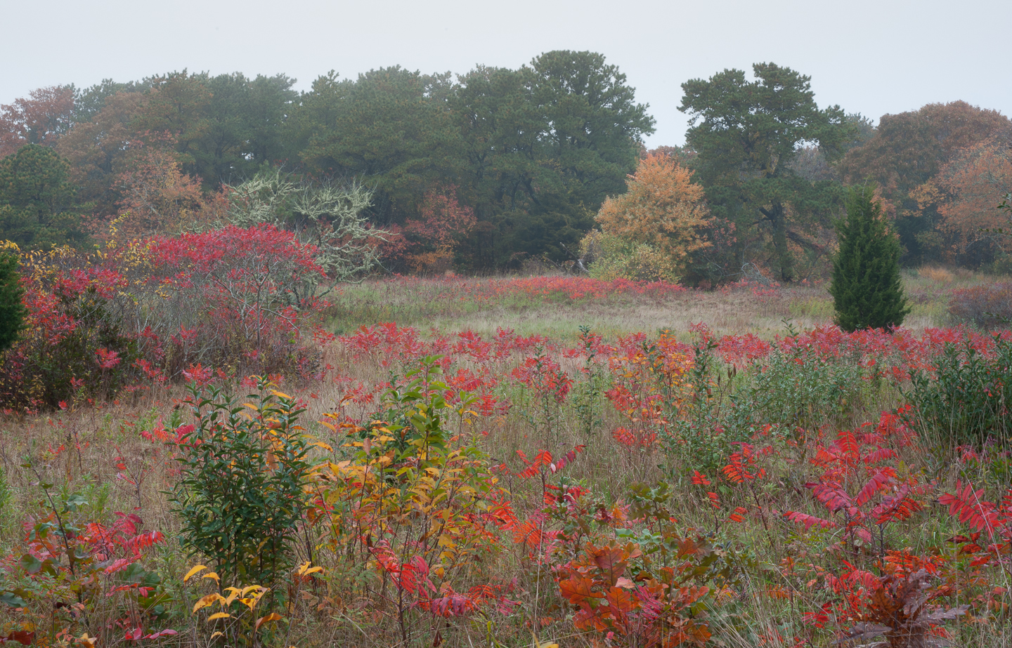
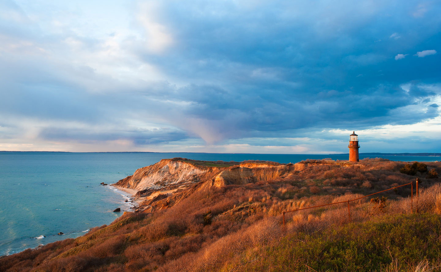
This is one of the crown jewels of the Land Bank, and indeed of the entire East Coast. Don’t be fooled by the name of the preserve, we’re talking here about “the cliffs.” You don’t even want to think about what a load of McMansions on this sacred ground would look like. This 49 acre (and counting) preserve was purchased in small bites: 1988, 1990, 1992-4, 2004, 2006, 2007, 2011.
From the Land Bank’s Page for the Preserve: Long the symbol of Martha’s Vineyard, the Gay Head Cliffs rise 100 feet above the Atlantic Ocean at its confluence with the Vineyard Sound. The preserve naturally divides into two areas — the north head and the south head — with the town’s municipal parking lot located in the middle. The north head, open annually from September 15 to June 14, enjoys high views of the chain of the Elizabeth Islands, the Buzzards Bay coastline, the Rhode Island shore and, directly below, the Devil’s Bridge, a mile-long string of boulders and other glacial shards which has been responsible for many maritime disasters. The south head is open year-round and includes Moshup Beach and its surrounding low heathlands. The beach itself is nearly a half-mile long and both ends are marked; beaches to the east are private, while the town of Aquinnah allows access to its under-cliffs beach on the west.
Getting there: Go west on State Road to the end of the earth.
For more information, visit the official Land Bank Website. Also, be sure to check out their cool map.


